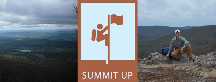
I get asked this quite often, and it is a really valid question. To an outsider, someone who doesn't spend most of their free time dreaming of walking up a hill, it is probably a little confusing to imagine how I randomly find the highest point in each of the 50 states. Sure you could drive to the biggest hill, but that doesn't necessarily mean its the highest peak. What if there is another peak that doesn't look as tall but starts at a higher elevation? What if the states highpoint is under some building?
In reality, finding a highpoint is really simple. Believe it or not, there are whole groups of people who go around and climb these peaks, we call ourselves...HIGHPOINTERS! Incredible name, huh? There is even a club for us. State highpoints are shown on most state maps. Some of them are difficult peaks, others are not much more than a mole hill. At every state highpoint there is a marker put out by the US Geographical Service.
This is what shows you when you are standing on the highpoint. They are usually put in a rock, so there might be a little pile of dirt off to the side that is a few inches higher, but you get the idea.
Before the dawn of GPS, getting to these highpoints could be very confusing. Cities are not built around highpoints, so they are almost always in the middle of nowhere. For example, Mount Arvon, the highest point in my home state of Michigan, is deep within logging country. When we tried to get there, we ended up having to walk through a cedar swamp because we couldn't find our road. Today, all you have to do is type the coordinates into your GPS, and it will take you right to the trail head.
For a great site for highpoint GPS coordinates, check this out. Click on the peak name, and they will be listed in both degrees and decimal format. Of course, one missed entered number may drive you to the wrong side of the country, so what I do is find the highpoint on an actual map, and then double check to make sure the GPS is driving me in the right direction.
I strongly suggest using a GPS, since it makes your travels really efficient, and allows you to enjoy the scenery instead to checking every street sign to make sure you don't miss your turn.
Sunday, June 14, 2009
Subscribe to:
Post Comments (Atom)

No comments:
Post a Comment