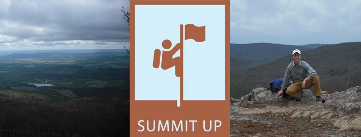

When climbing the highest point in Maryland, I would recommend that you follow one valuable bit of advice: do not be fooled by false summits. I came close to being fooled myself; really close, scary close actually. When I say scary close, I mean that I had taken all of my pictures, filmed my video, packed my gear, and starting to walk down when my co-climber suggested that we check out where a side trail went. It turned out that it went to the summit I was supposed to have been standing on in the first place.
Like many of the other highpoints that I have climbed in the past, Backbone Mountain, sits right on the border of the state. In this situation, it sits on the Maryland/West Virginia border. Part of the hike actually is in West Virginia. It is because of this that there are a few extra markers indicating the state line that look an awful lot like the markers that are used to indicate a highpoint. Add some age and moss to the markers, and you have a recipe for confused highpointers.
The best way to avoid this problem is to use GPS coordinates while hiking. These are available on a number of different highpointing sites. I should have known better on this one, and I won’t be making this same mistake any time soon. A false summit, and finding the correct summit, is a challenge that most don’t think about until they start reaching some of the easier highpoints. When climbing a 14er, there is little doubt on where the top is. Put yourself in the middle of the woods, when the trail goes up and down all the way to the peak, and it gets a little more complicated.
All the best!
Mark
PS The two pictures attached are of me at the summit and the false summit. When I am standing next to the cement marker, I am actually in the wrong spot. Pretty hard to tell the difference, huh?

No comments:
Post a Comment