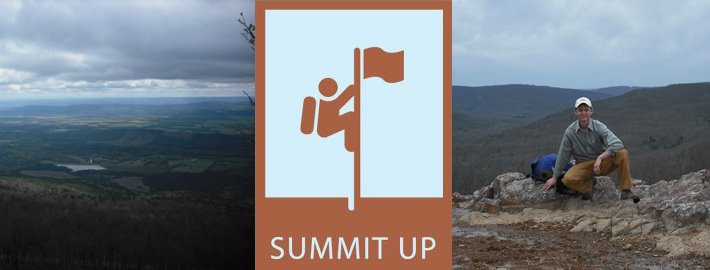
Should you, in the near future, find yourself heading to Georgia to climb Brasstown Bald, the highest point there, I suggest that you take a small detour. Where you are going to want to divert to is the Chattahoochee National Forest in Central-Northern Georgia. With a name like that, you probably don’t even need a reason to go there, but I will give you one anyhow. You are going to want to head towards Springer Mountain, which happens to be the southern terminus for the Appalachian Trail. If you enjoy being in the outdoors, I am going to guess that at one point of your life, you thought about hiking the AT. I don’t know why, but it enters all of our minds.
Something that I found really interesting is that although you can see the ranger station that all of the AT’ers walk to and finish, the actual finish is 8.5 miles back up the trial. At first I really couldn’t come up with a good reason of why they would have done this. Put yourself in a thru-hikers position, you just wandered in the woods for over 2,000 miles, and you get to a sign that says,” Yay, you finished, now walk 8.5 miles to your ride.” At first this didn’t make sense. Then I met some AT’ers.
Take a short hike on the AT, and you will realize quickly that there is a HUGE difference between thru-hikers and people like me who just jump on and walk a short distance to a highpoint or for simple amusement. The thru-hiker will walk hundreds of miles to see these amazing sites, and become very connected to each other and their surroundings in the process. People like me, on the other hand, drive most of the way, hop out of their car, and skip up to see the view. To be honest, I think they get annoyed by me, and what do they do to get back at me? They put their terminuses a 17 mile round trip away from the closest road. Call me paranoid, but I think I am on to something here.
Well it worked; I took my picture by the sign and wimped out. If you are in the Chattahoochee, which is still fun to say, it might be worth the hike. The northern terminus is Katadhin, which is the highest point in Maine. Although you might not end up hiking the 2,174+ mile trail, at least you can stand at both ends.

No comments:
Post a Comment